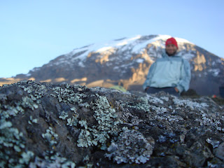
Kilimanjaro is one of the seven summits of the world, the highest mountain in Africa. I began the climb on the Machame route on the western side of this massive mountain. The journey will take 7 days round trip, to the summit at 19,340 and back down to Moshi, Tanzania. One of the awesome aspects of this climb is going thru all the climactic zones, from the tropics to the arctic.
I was part of a gr0up of 11 climbers from Charlotte, NC. Below are some photos of the climb.
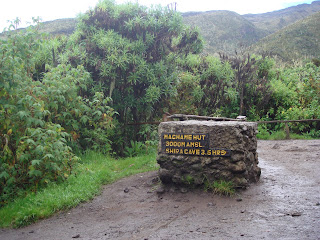
Day 1. Machame Camp 10,000 feet
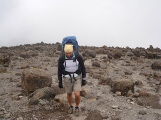
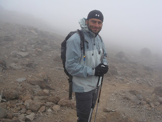
Day 2. Baranco Wall 12,500 feet (via Lava Tower 15,000 feet)
Day 3. Baranco Wall 12,500 feet.
Day 4. Karanga Hut 13,100 feet.
Day 5. Barafu Camp 14,500 feet.
Day 6. Summit 19,630 feet and back to Millennium Camp 12,200 feet.
Day 7. Meweka Gate 5,900 feet.
Day 1. Machame Camp 10,000 feet.
Day 2. Baranco Wall 12,500 feet (via Lava Tower 15,000 feet)
Day 3. Baranco Wall 12,500 feet. 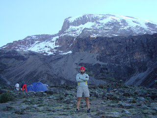
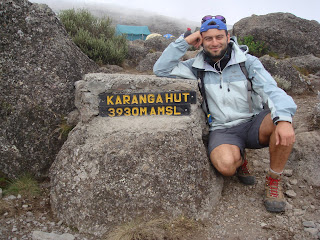 Day 4. Karanga Hut 13,100 feet.
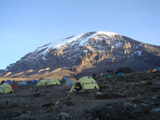 Day 5. Barafu Camp 14,500 feet.
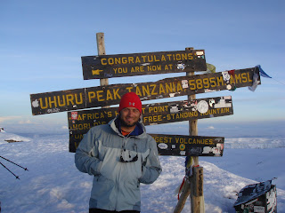 Day 6. Summit 19,630 feet and back to Millenim Camp 12,200 feet.
 Day 7. Meweka Gate 5,900 feet.
Both the safari and the climb were booked with Zara Tanzanian Travel which I highly recomend. They did a wonderful job!
 “The Mount Mitchell Challenge is a 40 mile Ultramarathon run in February of each year from the town of Black Mountain, NC to the top of Mt Mitchell, the highest point in the Eastern US, and back down again. This race, intentionally run in Winter to ensure harsh conditions, is regarded as one of the most difficult trail-running races in North America.” (Wikipedia)
 Results for the Mt. Mitchell Challenge.
 My finish time was 7:27:28 - 47th place out of 130 finishers.


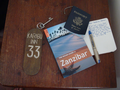 I visited the local markets, and tried octopus for the first time. It tasted like rubbery lobster, but surprisingly tasted better than I thought. The spices used in the grilling of octopus is key. Zanzibar is known for its spices. Taking a spice tour is a must while your on the island.


